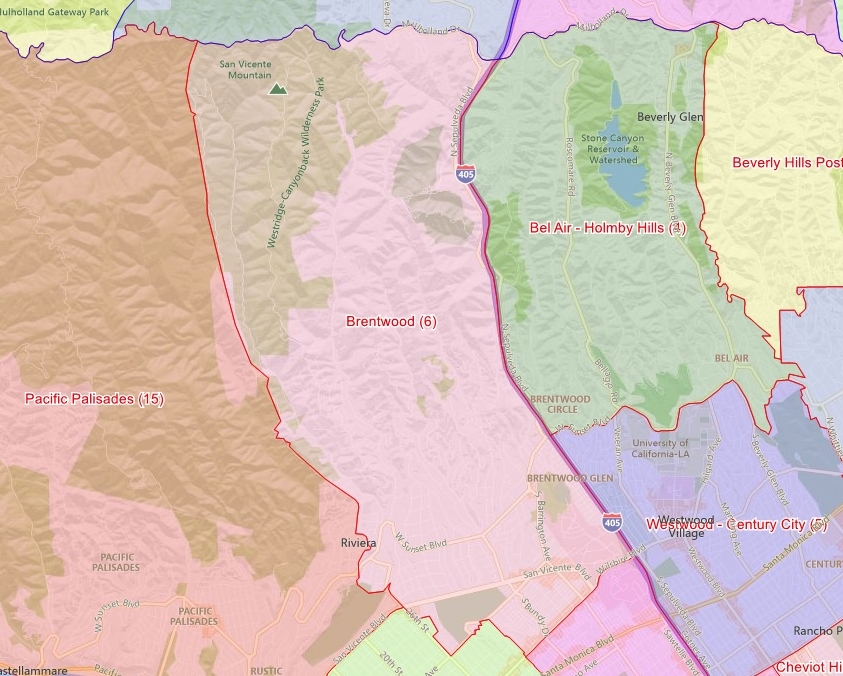
Brentwood is a community in the West
Los Angeles region of Los Angeles, California.
Located at the base of the Santa
Monica Mountains bounded by the San Diego Freeway on the east, Wilshire
Boulevard on the south, the Santa Monica city limits on the southwest, Pacific Palisades on the west and Mulholland Drive along the
ridgeline of the mountains on the north.
Nearby neighborhoods and cities besides Pacific Palisades on the west include Santa Monica on the southwest, West Los
Angeles on the south, Sawtelle on the southeast, Westwood on the east, Bel Air
on the northeast and Encino on the north.
The area's ZIP code is 90049 which
includes Brentwood and part of Bel-Air Estates (the primary section of Bel-Air
Estates is located in the 90077 zip code).
History
The area that is now Brentwood was part of the Rancho San Vicente y Santa
Monica, a Spanish land-grant ranch sold off in pieces to Anglos after Mexico's
defeat in the Mexican-American War. The area now popularly known as Brentwood
was recorded in city ledgers as Westgate when it was annexed on June 14, 1916.
Westgate was the city's 17th annexation, and added another 49 square miles (127
square kilometers) to the city of Los Angeles including large parts of what is
now the Pacific Palisades and a small portion of today's Bel-Air. (Note: There
is a Westgate Ave. in West L.A./Brentwood that remembers the original name of
the district.)
Originally an agricultural district
(soybeans, avocados, et al.), Brentwood is now one of the wealthiest
neighborhoods in Los Angeles and one of the prominent communitiess of the
Westside. It has prosperous commercial districts along each of its major
east-west thoroughfares (Wilshire, San Vicente and Sunset). It is largely
populated by professionals and executives.
Local traditions include the Maypole
erected each year on the lawn of the Archer School for Girls, carrying on the
tradition set by the Eastern Star Home that it replaced, and the annual
decoration of the coral trees with holiday lights. Inspired by the adjacent Los
Angeles National Cemetery and the community of veterans resident at the nearby
Veterans Administration center, Brentwood once regularly hosted a Memorial Day
parade, complete with a flotilla of classic cars and an elephant named Tiny. The environment
in Brentwood like nearby Santa Monica, is kept fairly cool by marine breezes off
the Pacific Ocean and frequently wakes to the so-called "marine
layer," a cover of clouds brought in at night and burned off by
mid-morning.
The topography of the area is generally split into two, broadly
divided by Sunset Boulevard. North of Sunset, the area is defined by the ridges
and canyons created by the Santa Monica Mountains; south of Sunset (exceptions
include Franklin Hill), the area is relatively flat.
The southern district (and
the neighboring Westgate-Sawtelle areas) features underground springs which
bubble up into a small creek along "the Gully" in south Brentwood near
the golf course and in the "Indian Springs" (the springs were
formerly the site of a Tongva campsite) portion of the University High School
campus.
San Vicente Boulevard, considered
the "Main Street" of Brentwood, is divided by a wide median on which
stand many large coral trees.
The median and the trees replaced the derelict
Pacific Electric track, and have become a Historic-Cultural Monument
(#148) for the city of Los Angeles. (Brentwood boosters have adopted the
silhouette of a coral tree as a de facto town logo.) Bundy Drive is lined with
extremely tall date palms, likely planted by the district's original developer.
Neighborhoods
There are a number of residential subdistricts; some defined by original
developers, some defined by present-day local realtors. Some may be as small as
a few blocks, others range over acres of hills:
Brentwood Circle: Gated community
east of Barrington and north of Sunset.
Brentwood Country Estates
Brentwood Flats
Brentwood Glen: Part of Brentwood that is bounded by Sunset, the 405 Freeway
and the Veterans Administration
Brentwood Heights
Brentwood Highlands
Brentwood Hills: Home to Mount St. Mary's College and the Getty Center.
Brentwood Park: Notable for its layout having been designed around several
large traffic circles, a handful of which remain; the area between Sunset and
San Vicente and between Kenter/Bundy on the east and Rockingham on the west.
Brentwood Terrace: Southwest edge of Brentwood, bounded by San Vicente Blvd,
Montana Ave, the Brentwood Country Club, and Santa Monica's 26th Street.
Walking distance to the Brentwood Country Mart.
Bundy Canyon
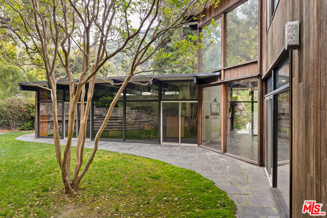
Crestwood Hills: Includes a cluster of architecturally significant mid-century
modern residences; located in the northern part of Kenter Canyon.
Kenter Canyon
Mandeville Canyon: Westernmost part of Brentwood north of Sunset.
Mandeville Canyon is the longest cul-de-sac (just over 5 miles) in Los Angeles.
Mountaingate: A planned community of 298 residences in 5 groupings on 694 hilltop acres just north of The Getty Center overlooking the 405 Freeway.
Museum Heights: Modern designed condominium community overlooking the 405 Freeway and located off Sunset Blvd.
South Brentwood: Between San Vicente and Wilshire Boulevards and the eastern
boundary of Santa Monica.
Westridge Hills: Western ridgeline of Mandeville Canyon
Transportation
Major thoroughfares include Sunset, San Vicente and Wilshire Boulevards;
Barrington and Montana Avenues and Bundy Drive. Brentwood is also situated
close to the Wilshire, Montana and Sunset exits of the 405 freeway.
Santa Monica's Big Blue Bus serves
Brentwood with its 2, 3, 4, 11, 13, and 14 bus lines. Los Angeles County
Metropolitan Transportation Authority (Metro) buses serve Brentwood include the
20 and 720 lines on Wilshire Blvd. (the latter of which is L.A.'s most
successful bus rapid transit line) and several lines along Sunset Blvd.
Demographics
The 2000 U.S. census counted 31,344 residents in the 15.22-square-mile Brentwood neighborhood—or 2,059 people per square mile, among the lowest population densities for the city and the county. In 2008, the city estimated that the population had increased to 33,312. In 2000 the median age for residents was 35, which was old for city and county neighborhoods. The percentages of residents aged 50 and older were among the county's highest.
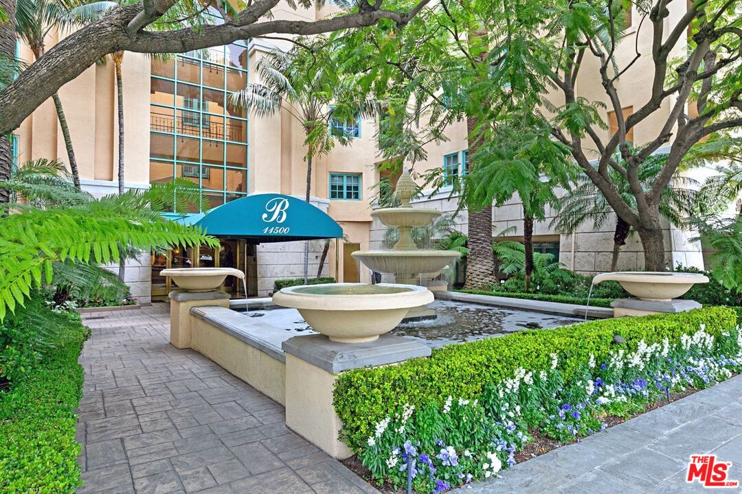
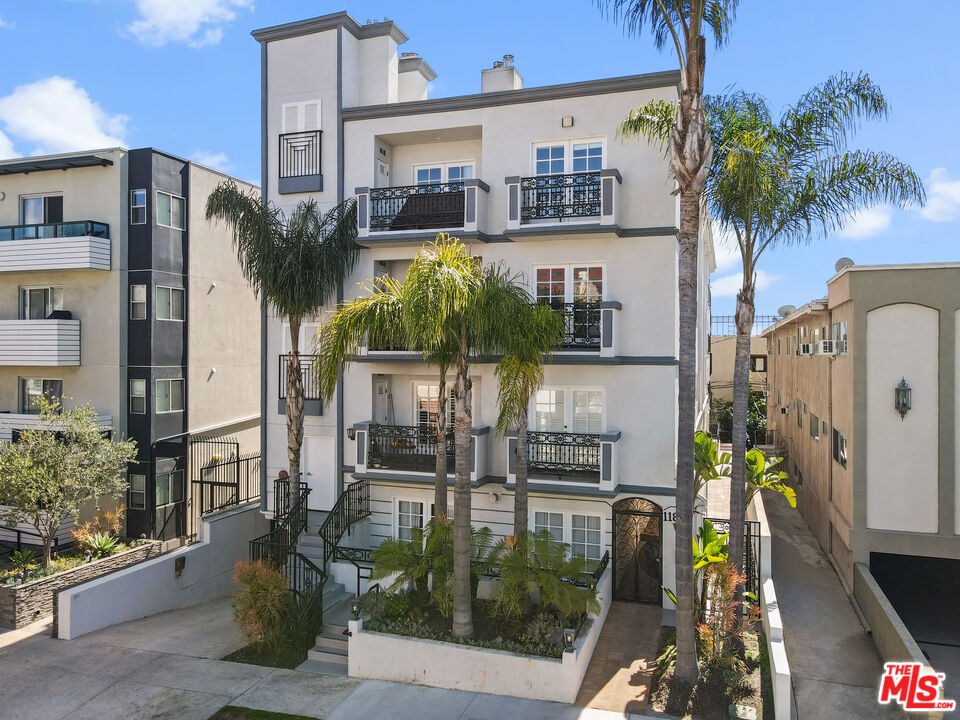
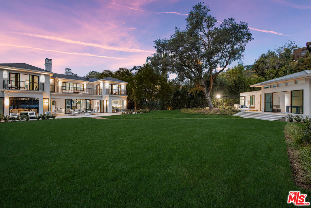
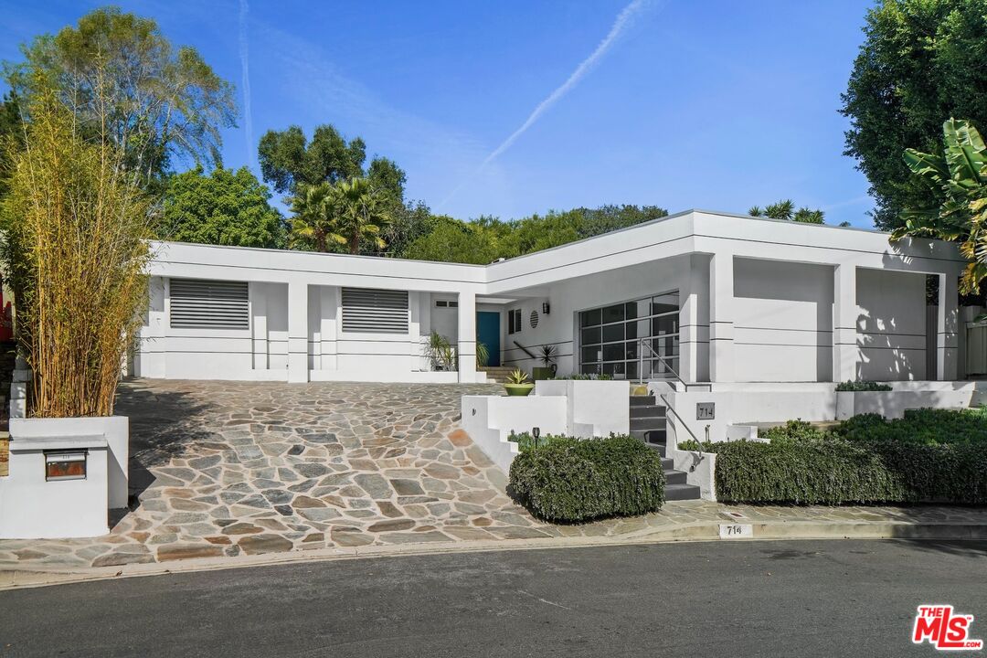
Housing
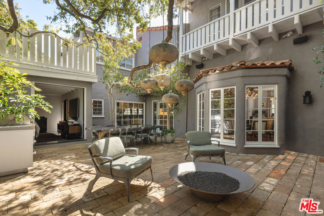
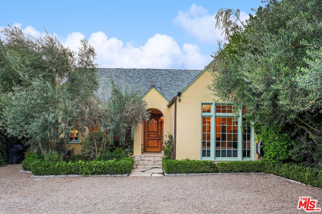
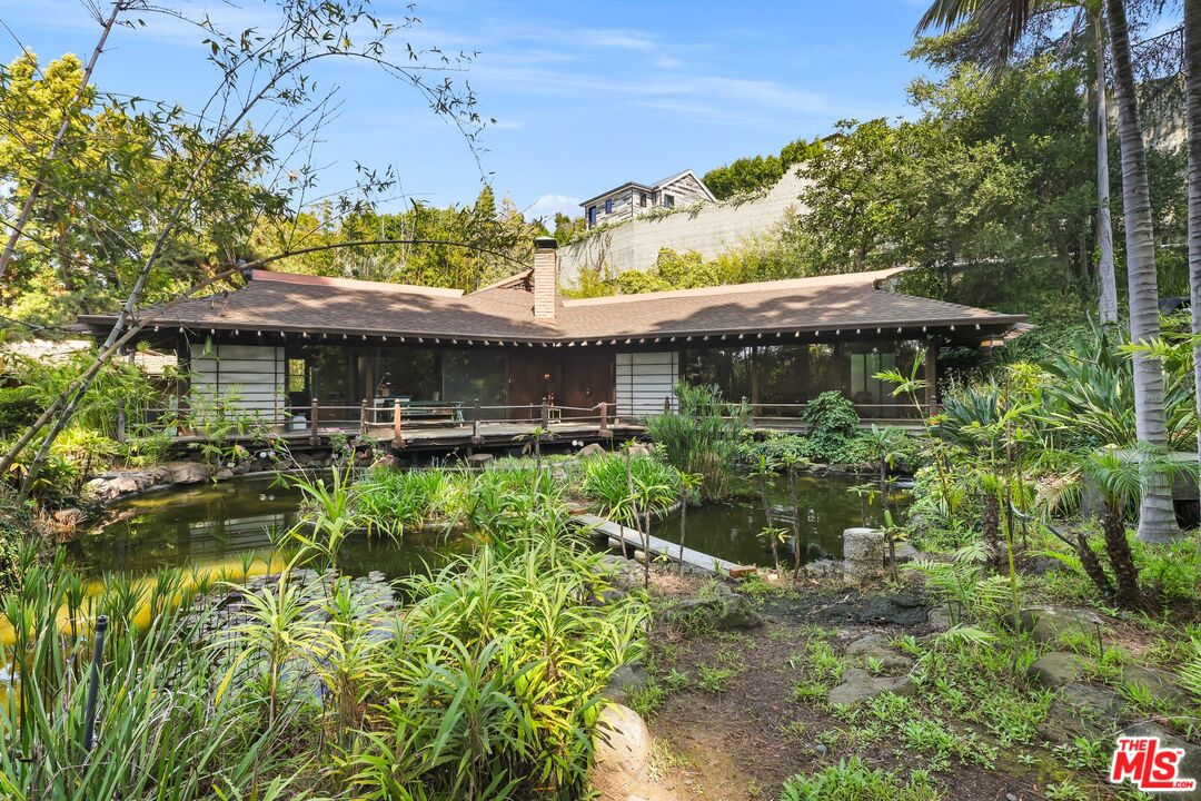
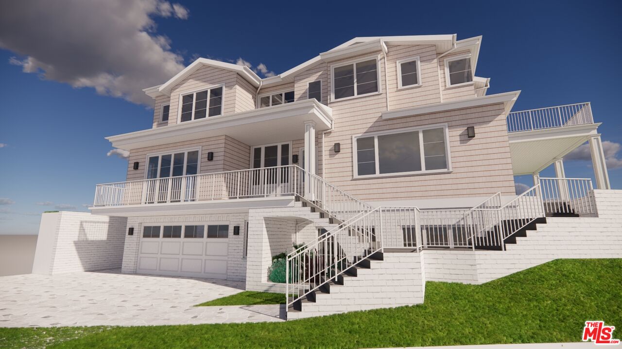
As of 2000, there were just over 22,000 housing units in Brentwood. Most
Brentwood residents reside in single-family homes, many of which—while
seemingly modest in style, square footage and lot size—would rarely sell for
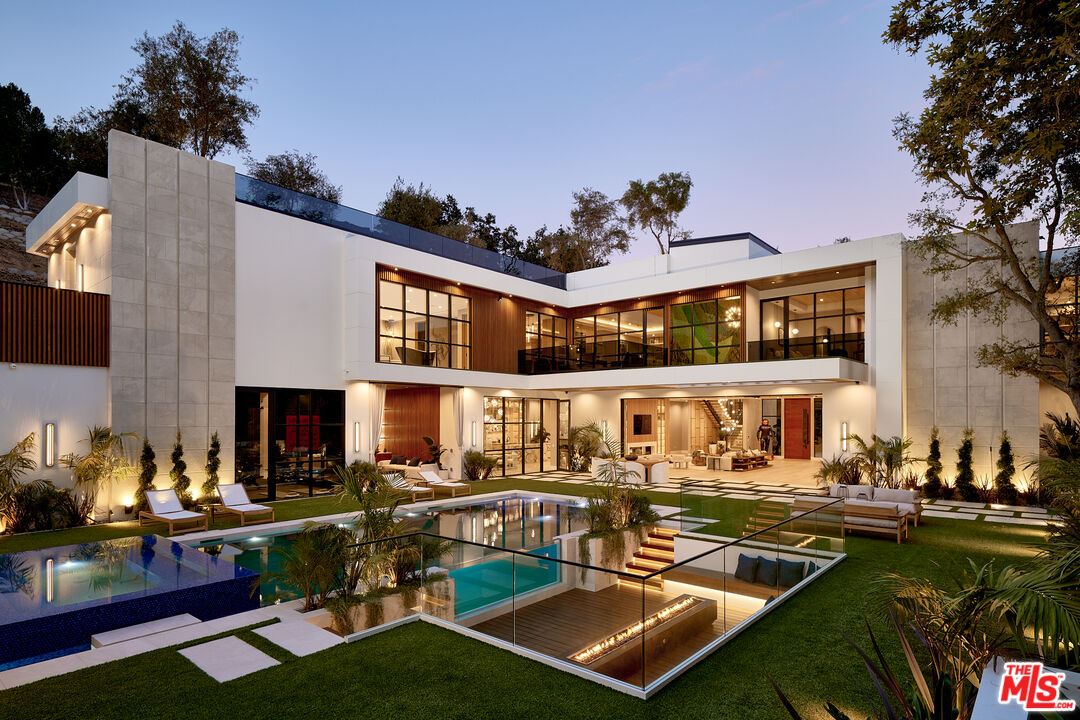
less than $750,000 due to the area's high housing costs (considerably higher nowadays). There are many
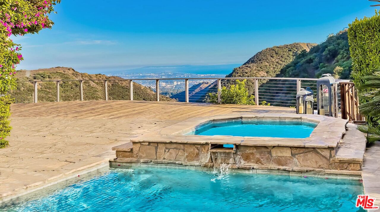
spectacular mansions and multi-million-dollar estates located in the hilly
areas north of Sunset. There are also large, modern apartment complexes and
condominiums located on most of the district's primary and secondary thoroughfares,
many of which are home to young professionals and students attending nearby
UCLA.
Source: Wikipedia